
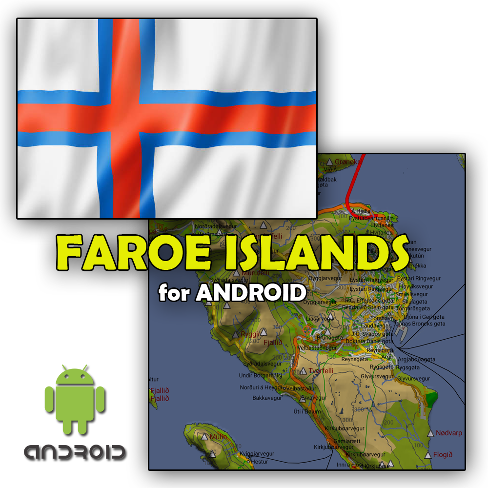
FAROE 2024.10 for Android
Get the Android version of our map of the Faroe Islands onto all of your Android devices (phone or tablet). It is designed to be used in the OruxMaps app, available in Google Play.
Includes:
Map of Faroe Islands with detailed information
Standard hillshade files to add depth to the look of the map
Note: The files are compressed in one 5.5 MB large ZIP file (17 MB when unzipped). We recommend to download it to a computer and manually install the files to attached Android device.
Read help:
Map Features
Shoreline of all of the Faroe Islands
Roads and tunnels with names
Walking/Hiking paths
Elevation data (20m)
Hillshade
Buildings (private and commercial)
Town names
House numbers
Mountains
Waterfalls
Place names
Lakes and rivers
Airports
Land features (forest, grass, wetlands, farmed, city parks, sporting areas etc)
Ferry paths
Included Files
Included with this purchase are 1 detailed version of the map and basic hillshade files.
Detailed Map
Hillshade files
Detailed Map - Has everything!
Hillshade - The basic package for hillshade giving depth to mountains and valleys. For much better quality, see HD Hillshade in the store.
Copyright Disclaimer
© GPSmap.is - Ívar Kjartansson © European Union, Copernicus Land Monitoring Service 2024, European Environment Agency (EEA) © Data from the Faroese Environment Agency, Umhvørvisstovan:
Lendiskort, March 2024
Adressur_husanr, March 2024
Bygningar, March 2024
Bygdir, March 2024
Stadarnovn_topo20_punkt, March 2024
and possibly more partially
